Case: 04 April 2019
Summary
Post-frontal open cell cumulus with minimal spacing between cells
Description
This was a post-frontal event having its frontal passage early in the event day. Although this cloud field had a cold-air outbreak type open cell cumulus set-up, the cloud field was relatively closed and connected, with small to negligible gaps between the individual cells or cell precipitation cores. The boundary layer winds were light and northerly. Cloud echo tops for the open cell periods remained near the ambient melting level (approximately 1.5 km AGL throughout the event). There was evidence of high clouds observed from SEVIRI throughout the event as associated with the previous larger scale frontal passage.
Available assets
Standard ARM profiling assets, SEVIRI. RLPROF-FEX
Critical period: 07:00-23:30
Primary open cell period for this event
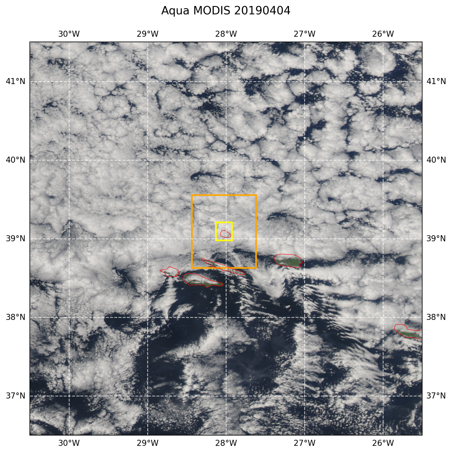
Figure 65 True color afternoon MODIS AQUA image with overlaid LES domains. The image domain corresponds to the size of the model forcing domain.