Case: 09 March 2018
Summary
An open cell event having high boundary layer winds and a low melting level following frontal passage
Description
This was a widespread open cell cloud event that followed a synoptic wave passage over Grasciosa around 03 UTC on March 9th. Winds throughout the event were typically strong (> 40 kts) and from the northwest. The melting level lowered to approx. 1.5 km AGL associated with the initial wave passage, and this was 2 km or more below the observed cloud echo top heights (some, exceeding 4 km over the ENA main site) for the most intense cells from this event. The most intense precipitating cells for the bulk of this event were observed over the ENA main site during the second half of the day into its evening hours. SEVIRI cloud top temperatures suggested deeper open convective cells to the northern parts of the Azores region during the later stages of this event.
Available assets
Standard ARM profiling assets, SEVIRI. RLPROF-FEX. SACR
Critical period: 06:00-12:00
Open cell regime with observed cloud top heights slightly above the melting level
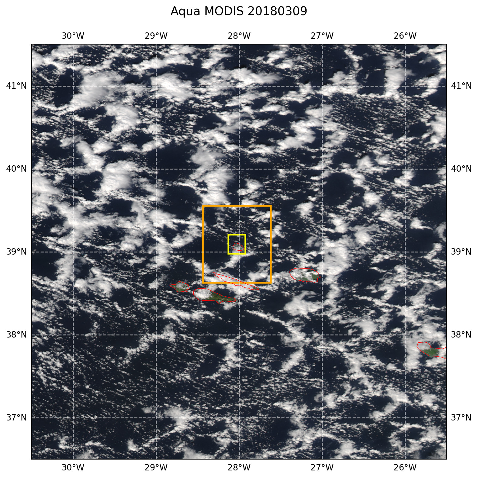
Figure 31 True color afternoon MODIS AQUA image with overlaid LES domains. The image domain corresponds to the size of the model forcing domain.