Case: 14 December 2022
Summary
Widespread open cellular cumulus organization with light precipitation
Description
A cold air outbreak type open cell cumulus event that followed frontal passage. Deeper and more enhanced precipitating cells were observed early and into the overnight hours, transitioning to shallower precipitating cumulus by morning. Clouds that were observed after midday were typically exhibiting cloud echo top heights 2.0-2.5 km AGL, which were suitably above the ambient melting level (approximately 1.6 km by midday). Moderate (25-30 kt) northwesterly boundary layer flows were observed throughout the event. Some high clouds were observed on SEVIRI towards the beginning and end of the day, but these remain outside of the primary Azores domain.
Available assets
Standard ARM profiling assets, SEVIRI. SACR, RLPROF-FEX
Critical period: 13:00-20:00
Shallow open cell cumulus passing over the ENA main site
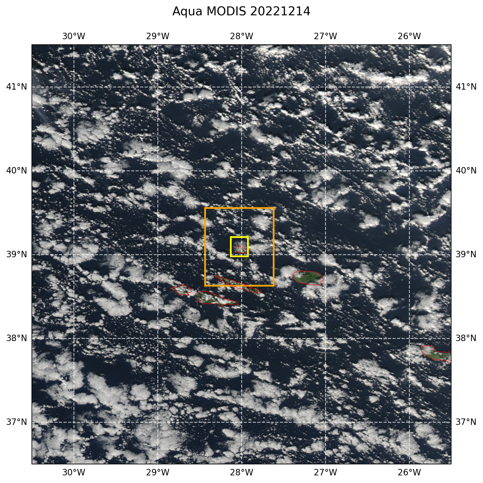
Figure 45 True color afternoon MODIS AQUA image with overlaid LES domains. The image domain corresponds to the size of the model forcing domain.