Case: 05 April 2018
Summary
Precipitating open cellular event with strong (40-50 kt) westerly boundary layer winds
Description
An open cell event that followed a significant frontal passage. Several deeper precipitating cumulus were observed across the larger Azores model domain. Cloud tops were consistently approaching 4 km AGL from available observations. Strong westerly to northwesterly boundary layer winds (40-50 kts) were observed throughout this event. The melting level was around 1.5 km AGL, well below the cloud top heights as estimated by ARM profiling sensors.
Available assets
Standard ARM profiling assets, SEVIRI. SACR. RLPROF-FEX
Critical period: 06:00-12:00
Several precipitating cumulus over the ENA main site
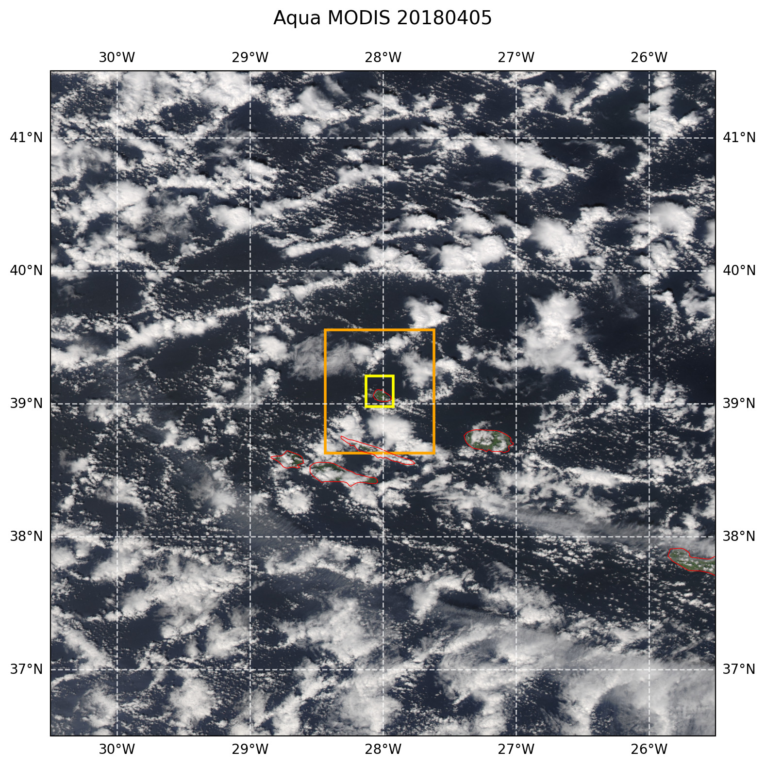
Figure 35 True color afternoon MODIS AQUA image with overlaid LES domains. The image domain corresponds to the size of the model forcing domain.